The
CoCoView Resort Weather Forecast
This weather
forecast is intended for CoCoView Resort guests and applies only to
the south side of Roatan
CoCoView is at 16.4°N
Latitude x 86.4°W Longitude
in the
NW Caribbean Sea
in the
NW Caribbean Sea
CoCoView Resort, www.cocoviewresort.com
, 800-510-8164
How to use this page:
The title of each of the
figures below is linked to the page where the information originates.
Since I write and post early
in the day and generally do not update the page until the next
morning; by clicking on the link, it allows you, the viewer, to get
the latest information.
This is not only convenient
but allows you to track weather events such as cold fronts and
hurricanes from a single web page.
In addition, in the right
column is a very useful widget. It is a trip planner...yesteryear's
weather at a glance.This widget lets you check historic weather for
your trip dates.
Thursday, August 13, 2015
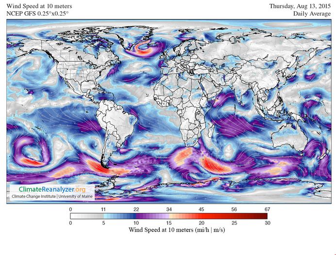
Skies will be partly cloudy. Winds will be easterly in direction at 10 mph today or less. Seas will be calm at 1 ft to 3 ft.
The air temperatures will range from the low to high 80s ºF or 26°C to 27ºC. Ocean water temperatures are 80°Fto 82°F or 26ºC to 28ºC. There is a slight chance of scattered rain showers and isolated thunderstorms,especially during the early morning, late night hours.


Fig
2a – Today's Jetstream


 |
Fig 20 - Recent changes in the
Saharan Air Layer
|
 |
The Tropical Weather Outlook
For the North Atlantic...Caribbean Sea and the Gulf of Mexico:
1. Synopsis...A tropical wave along 79W will move inland Central America on Fri. Another tropical wave will reach 55W this evening...and across the remainder of those zones through Fri. The wave will move across the Lesser Antilles and far E Caribbean Fri evening into early Sat... and across the rest of the E Caribbean during remainder of Sat and through Sun. The wave will then move across the E section of the central Caribbean on Mon.
2. There are no tropical cyclones in the Atlantic at this time.
3. The Saharan Air Layer (SAL) has again increased slightly in area.


Fig 22a - Active Atlantic Ocean Tropical
Waves

Fig 23 - 48 Hour Tropical Storm Probability
low tide 2:00 am LT Sunrise – 5:31 am LT>74° East
high tide 7:54 am LT Sunset – 6:13 pm LT < 285° West
low tide 1:59 pm LT Moon Rise – 4:39 am LT> 75° East
high tide 8:20 pm LT Moon Set – 5:41 pm LT < 284° West
high tide 7:54 am LT Sunset – 6:13 pm LT < 285° West
low tide 1:59 pm LT Moon Rise – 4:39 am LT> 75° East
high tide 8:20 pm LT Moon Set – 5:41 pm LT < 284° West

No comments:
Post a Comment