The CoCoView Resort Weather Forecast
This weather forecast is intended for CoCoView Resort guests and applies only to the south side of Roatan
CoCoView is at 16.4°N Latitude x 86.4°W Longitude
In the
NW Caribbean Sea
CoCoView Resort, www.cocoviewresort.com, 800-510-8164
Thursday May 31, 2012
Again skies will be partly sunny with mid to high level clouds. Seas will be choppy at 2 to 4 feet . Winds will be ESE to E in direction at 10 to 20 mph.
Moist conditions are expected to remain over the Western Caribbean through at least the next 24 hours. There is a chance of isolated rain and thunderstorms. A weak cold front will enter the NW Gulf of Mexico Friday.
 |
| Fig 1 – Today's Wind Forecast |
 |
| Fig 2 – Today's Graphicast |
 |
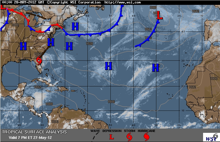
| Fig 3 – Today's Tropical Surface Analysis |
 |
| Fig 4 – Today's IR Water Vapor |
 |
| Fig 5 – Today's Tropical Surface Forecast |
The air temperatures will range from the low 80s (ºF) to the low 90s (ºF) or 26ºC to 32ºC.
Ocean water temperatures are 80 to 81ºF or 25 to 26ºC. Visibility is generally 20 to 80 feet.
The Tropical Weather Outlook
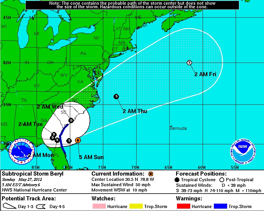
Tropical storm formation is not expected for the next 24 hours.
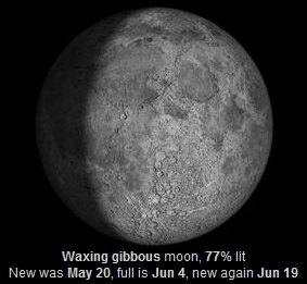
The Tides: Moon and Sun
high tide 4:35 am LT Moon Rise – 2:28 pm LT
low tide 11:19 am LT Moon Set – 1:39 am LT
high tide 6:15 pm LT Sunrise – 5:15 am LT
low tide 12:04 am LT Sunset – 6:15 pm LT


