Roatan Weather Forecast
As presented by Radio Roatan, FM 101.1 or www.roatanradio.com
and
CoCoView Resort, www.cocoviewresort.com, 800-282-8932
CoCoView is at 16.3°N Latitude x 86.5°W Longitude
In the
NW Caribbean Sea
Monday Feb. 28, 2011
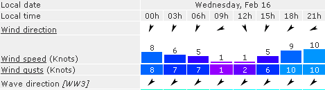
Skies will be mostly sunny with some mid to high level cloudiness. Winds will be SE to E at 15 mph to 25 mph. The seas will be 2 to 4 feet in height or higher. Expect these wind and sea conditions to prevail through today. Winds late tonight may reach speeds up to 25 to 30 mph.
 |
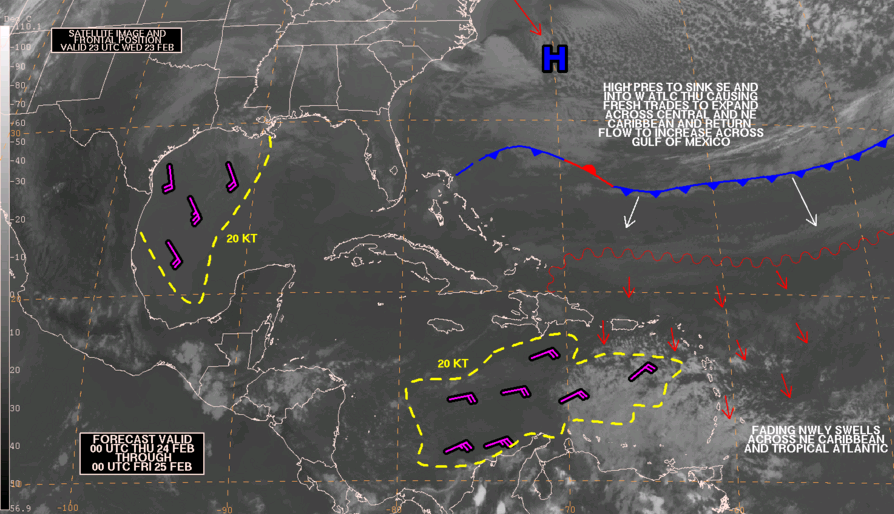
| Fig 1 – Forecast Wind Speed & Direction_110228 |
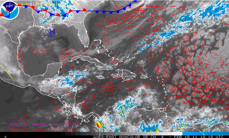
A cold front will push into the NW gulf of Mexico later this morning.
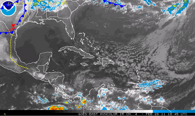 |
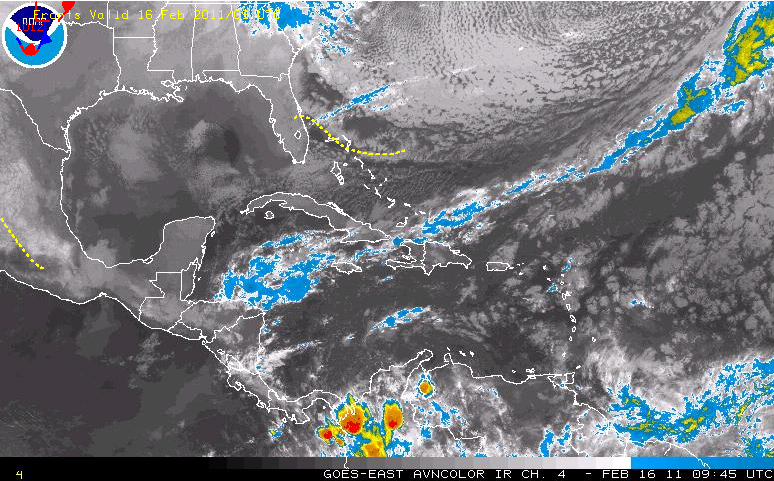
| Fig 2 - Cold Front Position, early am_110228 |
It will extend from SE Louisiana to western Bay of Campeche, Mexico tonight Then from Central Florida to the western Bay of Campeche, Mexico late on Tuesday. Winds and seas here, will begin to moderate on Tuesday afternoon, as this cold front approaches the NW Caribbean Sea. This front is currently forecast to dissipate on Wednesday.
Winds and seas will be moderate, the last half of this week.
The air temperatures will be in the high 70s (F) to the low 80s or 24 to 25 (C).
At depth, ocean water temperatures are about 80F or 26C .
At depth, ocean water temperatures are about 80F or 26C .
The Tides: Moon and Sun
low tide 12:29 am LT Moon Rise –3:05 am LT
high tide 6:48 am LT Moon Set – 2:40 pm LT
low tide 12:48 pm LT Sunrise – 6:06 am LT
high tide 6:28 pm LT Sunset - 5:54 pm LT