The CoCoView Resort Weather Forecast
This weather forecast is intended for CoCoView Resort guests and applies only to the south side of Roatan
CoCoView is at 16.4°N Latitude x 86.4°W Longitude
In the
NW Caribbean Sea
CoCoView Resort, www.cocoviewresort.com , 800-510-8164
How to use this page:
The title of each of the figures below is linked to the page where the information originates.
Since I write and post early in the day and generally do not update the page until the next morning; by clicking on the link, it allows you, the viewer, to get the latest information.
This is not only convenient but allows you to track weather events such as cold fronts and hurricanes from a single web page.
In addition, in the right column are two very useful widgets. The first is a tropical weather tracker which shows you the location and forecast track of active tropical storm systems.
The second is a trip planner...yesteryear's weather at a glance.This widget lets you check historic weather for your trip dates.
Thursday October 11, 2012
Again today, skies will be partly sunny, with mid to high level clouds. Seas will be choppy to rough at 2 to 4 feet. Winds will be easterly in direction at 15 to 20 mph. Divers should exercise caution exiting and entering the boats, especially on the afternoon and night dives.
There is a slight chance of isolated rain showers and thunderstorms in the early morning, late evening hours.
The air temperatures will range from the low 80s (ºF) to the low 90s (ºF) or 26ºC to 32ºC.
Ocean water temperatures are 83 to 84ºF or 26 to 27ºC. Visibility is generally 20 to 80 feet.


The Tropical Weather Outlook
Invest 98L, a vigorous tropical wave accompanied by a broad low pressure system is located about 425 miles east-southeast of the Windward Islands or about 2150 miles, E by S of the Bay Islands.
(See Figure 16)
Thunderstorm activity is gradually becoming better organized...and satellite data indicate winds to near tropical storm force are occurring in some of the heavier squalls well to the north of circulation center. Some further development of this large disturbance will be possible over the next couple of days as environmental conditions become slightly more conducive. This system has a medium chance...50 percent...of becoming a tropical cyclone during the next 48 hours as it moves west-northwestward at 10 to 15 mph.
Satellite imagery indicates the small well-defined low pressure system, Invest 97L, is located about 275 miles east of the central Bahamas or about 1120 miles NE of Roatan.(See Figure 14) It has continued to become better organized. Thunderstorm activity has increased near the circulation center over the past several hours and...if this development trend continues...a tropical depression could form and briefly persist before hostile upper-level winds cause rapid weakening of the low...or the low merges with a cold front...by this afternoon. This system has a medium chance...50 percent...of becoming a tropical cyclone during the next 48 hours as it moves eastward or southeastward at 5 to 10 mph.
Both these systems bear watching, as they develop and generally track towards the Bay Islands.
(See Figures 13 and 15)


Fig 13 - Today's Computer Model Runs for Invest 97L
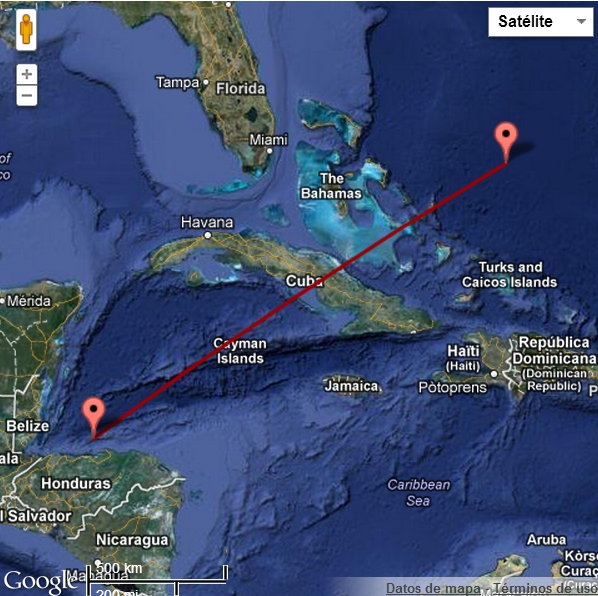

Fig 15 - Today's Computer Model Runs for Invest 98L

high tide 5:42 am LT Moon Rise – 1:53 am LT
low tide 11:41 am LT Moon Set – 2:41 pm LT
high tide 5:36 pm LT Sunrise – 5:39 am LT
low tide 11:54 pm LT Sunset – 5:29 pm LT

No comments:
Post a Comment