The
CoCoView Resort Weather Forecast
This weather
forecast is intended for CoCoView Resort guests and applies only to
the south side of Roatan
CoCoView is at 16.4°N
Latitude x 86.4°W Longitude
in the
NW Caribbean Sea
in the
NW Caribbean Sea
CoCoView Resort, www.cocoviewresort.com
, 800-510-8164
How to use this page:
The title of each of the
figures below is linked to the page where the information originates.
Since I write and post early
in the day and generally do not update the page until the next
morning; by clicking on the link, it allows you, the viewer, to get
the latest information.
This is not only convenient
but allows you to track weather events such as cold fronts and
hurricanes from a single web page.
In addition, in the right
column is a very useful widget. It is a trip planner...yesteryear's
weather at a glance.This widget lets you check historic weather for
your trip dates.
Sunday,
February 15, 2015
Skies
will be mostly sunny. Winds will be mostly northerly in direction at
5 mph to 15 mph. Seas
will be calm to moderate at 1 to 4 feet. Expect some cloudiness with
a very slight chance of rain through Monday.
The
air temperatures will range from the low to high 70s (ºF) to the low
80s (ºF) or 23C to 27ºC. Ocean water temperatures are 76°F to 79°F
or 24ºC to 26ºC. Visibility is 20 to 80 ft.


 |
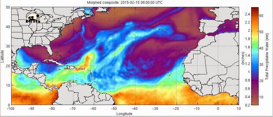
Fig 20 - Recent changes in the
Saharan Air Layer
|
 |
The Tropical Weather Outlook
For the North Atlantic...Caribbean Sea and the Gulf of Mexico:
1. A cold front will clip the NE and E Gulf of Mexico today and tonight. A cold front will push into the NW Gulf Mon night...extend from the Florida Big Bend to the SW Gulf Tue and pass SE of the Gulf Wed. Winds are expected to reach gale force behind the front along the coast of Veracruz, Mexico Tue night.
2. A cold front will move into the NW Caribbean Wed...reach from central Cuba to the Gulf of Honduras Wed and Wed night and from near the Windward Passage to NE Honduras Thu. Strong high pres will build across the NW Caribbean wake of the front ushering in fresh to strong N to NE winds across that portion of the sea.

Fig 23 - 48 Hour Tropical Storm Probability
high tide 6:31 am LT Sunrise – 6:13 am LT >103° SE
low tide 12:16 pm LT Sunset – 5:50 pm LT <257° W
high tide 5:52 pm LT Moon Rise – 2:55 pm LT >109° E
low tide 12:42 pm LT Moon Set – 2:39 pm LT <252° W
Daylight Hours: 11 hours, 38 minutes (+48 s)
low tide 12:16 pm LT Sunset – 5:50 pm LT <257° W
high tide 5:52 pm LT Moon Rise – 2:55 pm LT >109° E
low tide 12:42 pm LT Moon Set – 2:39 pm LT <252° W
Daylight Hours: 11 hours, 38 minutes (+48 s)

No comments:
Post a Comment