The
CoCoView Resort Weather Forecast
This weather
forecast is intended for CoCoView Resort guests and applies only to
the south side of Roatan
CoCoView is at 16.4°N
Latitude x 86.4°W Longitude
in the
NW Caribbean Sea
in the
NW Caribbean Sea
CoCoView Resort, www.cocoviewresort.com
, 800-510-8164
How to use this page:
The title of each of the
figures below is linked to the page where the information originates.
Since I write and post early
in the day and generally do not update the page until the next
morning; by clicking on the link, it allows you, the viewer, to get
the latest information.
This is not only convenient
but allows you to track weather events such as cold fronts and
hurricanes from a single web page.
In addition, in the right
column is a very useful widget. It is a trip planner...yesteryear's
weather at a glance.This widget lets you check historic weather for
your trip dates.
This
blog will resume on a regular basis on 141222 - Doc Radawski
Tuesday, December
16, 2014
Skies
will be mostly sunny. Winds will be moderate and NE to NNE in
direction at 5 mph to 10 mph or less. Seas
will be moderate to calm at 1 to 3 feet. The air temperatures will
range from the mid to high 70s (ºF) to the low to mid 80s (ºF) or
23C to 25ºC. Ocean water temperatures are 78°F to 82°F or 25ºC to
28ºC. Visibility is 20 to 80 ft.
Expect
increasing cloudiness and rain over the next 24 hours. There is a
chance of scattered rain showers and isolated thunderstorms,
especially during the early morning, late night hours on Wednesday.


 |
|
Fig 18 - Recent changes in the
Saharan Air Layer
|
 |
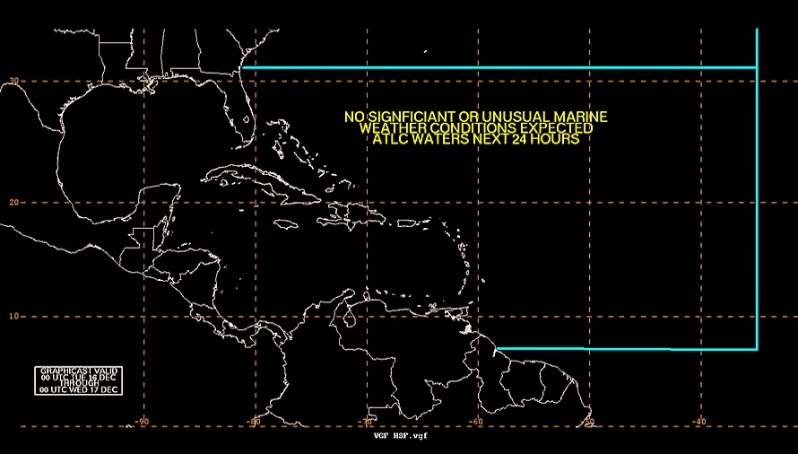
The Tropical Weather Outlook
For the North
Atlantic...Caribbean Sea and the Gulf of Mexico:
1.
A cold front from SW Louisiana to inland far southern Texas early
this morning will extend from the Florida Big Bend region to 26N91W
and stationary to just S of Brownsville, TX by early this afternoon.
The front will then extend from near Tampa Bay, FL to near 26N89W
then stationary to 26N93W early Wed. The front will become diffuse
as high pressure builds SE across the eastern and central Gulf of
Mexico.
2.
Another cold front is forecast to move across the western Gulf of
Mexico Fri...and quickly reach from the western Florida Panhandle to
the eastern Bay of Campeche, Mexico by late Sat.


Fig 21 - 48 Hour Tropical Storm Probability
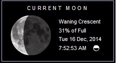
high tide 5:41 am LT Sunrise – 6:07 am LT >114° SE
low tide 11:06 am LT Sunset – 5:19 pm LT <246° W
high tide 4:30 pm LT Moon Rise – 1:04 am LT >96° E
low tide 11:14 pm LT Moon Set – 1:10 pm LT <262° W
Daylight Hours: 11 hours, 11 minutes (-6s)
low tide 11:06 am LT Sunset – 5:19 pm LT <246° W
high tide 4:30 pm LT Moon Rise – 1:04 am LT >96° E
low tide 11:14 pm LT Moon Set – 1:10 pm LT <262° W
Daylight Hours: 11 hours, 11 minutes (-6s)
No comments:
Post a Comment