The
CoCoView Resort Weather Forecast
This weather forecast is intended for CoCoView Resort guests and applies only to the south side of Roatan
CoCoView is at 16.4°N Latitude x 86.4°W Longitude
in the
NW Caribbean Sea
CoCoView Resort, www.cocoviewresort.com , 800-510-8164
CoCoView is at 16.4°N Latitude x 86.4°W Longitude
in the
NW Caribbean Sea
CoCoView Resort, www.cocoviewresort.com , 800-510-8164
How to use this page:
The title of each of the figures below is linked to the page where the information originates.
Since I write and post early in the day and generally do not update the page until the next morning; by clicking on the link, it allows you, the viewer, to get the latest information.
This is not only convenient but allows you to track weather events such as cold fronts and hurricanes from a single web page.
In addition, in the right column is a very useful widget. It is a trip planner...yesteryear's weather at a glance.This widget lets you check historic weather for your trip dates.
Saturday, May 31, 2014
Again today, skies will be mostly
sunny. Winds will be easterly in direction at 8 mph to 12 mph this
morning; increasing to 20 mph to 25 mph this afternoon and evening.
Seas
will be choppy at 2 to 4 feet.
Winds and seas are now forecast to
strengthen through Wednesday of next week. For more details, see the
weekly weather forecast posted else where in the resort.
The air temperatures will range from
the low to mid 70s (ºF) to the low to mid 80s (ºF) or 24ºC to
26ºC.
Ocean water temperatures are 80°F to
82°F or 24ºC to 25ºC. Visibility is 20 to 80 ft.
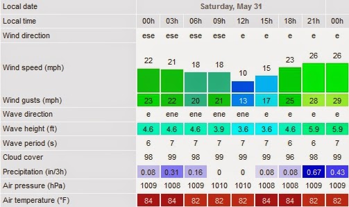


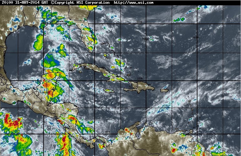


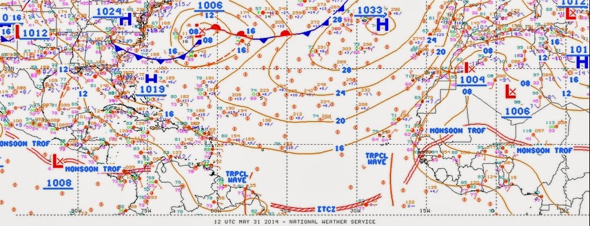


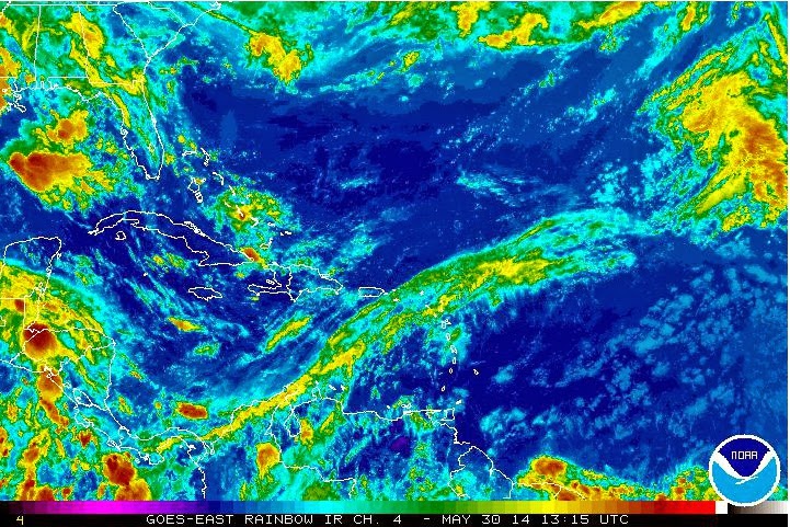
Fig 18 - Recent changes in the Saharan Air Layer

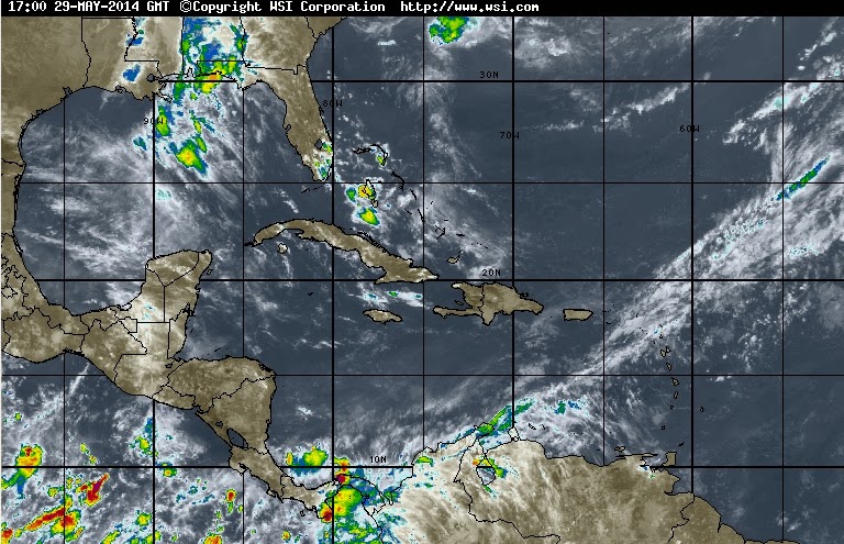
The Tropical Weather Outlook
The hurricane season in this
hemisphere, officially begins on Sunday, June 01, 2014. NOAA predicts
near-normal or below-normal 2014 Atlantic hurricane season. El Niño
is expected to develop and suppress the number and intensity of
tropical cyclones.
The outlook calls for a 50 percent chance of a below-normal season, a
40 percent chance of a near-normal season, and only a 10 percent
chance of an above-normal season. For the six-month hurricane season,
which begins June 1, NOAA predicts a 70 percent likelihood of 8 to 13
named storms (winds of 39 mph or higher), of which 3 to 6 could become
hurricanes (winds of 74 mph or higher), including 1 to 2 major
hurricanes (Category 3, 4 or 5; winds of 111 mph or higher). These numbers are near or below the seasonal averages of 12 named storms, six hurricanes and three major hurricanes, based on the average from 1981 to 2010. The Atlantic hurricane region includes the North Atlantic Ocean, Caribbean Sea and Gulf of Mexico.
A tropical wave along 62W
this morning, will move W through the SE Caribbean today and
tonight...then move W-NW across the central and SW Caribbean Sunday
through Wednesday. A second tropical wave will move through the
tropical N Atlantic this evening and tonight and through the SE
Caribbean Sunday night through Monday then through the central
Caribbean Tuesday through Wednesday.
low tide 4:42 am LT
Moon Rise – 7:42 am LT
high tide 10:20 am LT
Moon Set – 8:53 pm LT
low tide 4:36 pm LT
Sunrise – 5:15 am LT
high tide 11:29 pm LT
Sunset – 6:15 pm LT