The CoCoView
Resort Weather Forecast
This weather forecast is intended for CoCoView Resort guests and applies only to the south side of Roatan
CoCoView is at 16.4°N Latitude x 86.4°W Longitude
in the
NW Caribbean Sea
CoCoView Resort, www.cocoviewresort.com , 800-510-8164
How to use this page:
The title of each of the figures below is linked to the page where the information originates.
Since I write and post early in the day and generally do not update the page until the next morning; by clicking on the link, it allows you, the viewer, to get the latest information.
This is not only convenient but allows you to track weather events such as cold fronts and hurricanes from a single web page.
In addition, in the right column is a very useful widget. It is a trip planner...yesteryear's weather at a glance.This widget lets you check historic weather for your trip dates.
Monday Sept 30, 2013
Again,
today, skies
will be partly sunny.
Seas
will be moderate to calm at 1 to 3 feet.
Winds will be light and variable in direction, this morning, at 5 mph
or less; increasing to 10 mph from the NE this afternoon and evening.
There is a very slight chance of scattered rain showers and isolated
thunderstorms. Expect increasing cloudiness and rain as Invest 97L
approaches. See details below in the Tropical Weather Outlook.
Moderate to light trade winds and seas are forecast through Thursday.
The air temperatures will range from the mid 80s (ºF) to the low 90s (ºF) or 25ºC to 32ºC.
Ocean water temperatures are 84°F to 86ºF or 28ºC to 29ºC. Visibility is generally 20 to 80 feet.


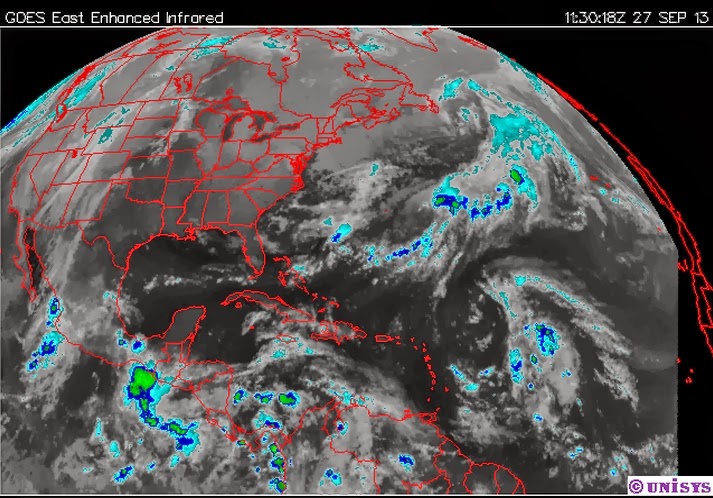
Fig 9a - Recent changes in the Saharan Air Layer

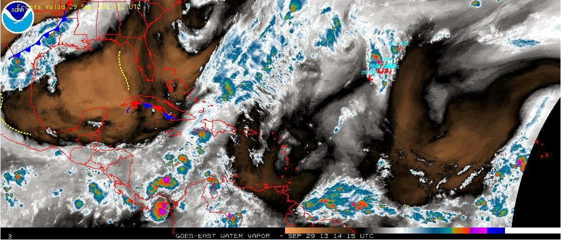
The Tropical Weather Outlook
Invest 97L is broad trough of cloudiness and rain, over the central Caribbean, along 79W. It will continue to move slowly W-NW through Tuesday. Then more quickly NW and into NW Caribbean Wednesday...and inland across the Yucatan by Thursday. This morning, its center was located about 500 miles ESE (107º) of Roatan. It is slowly moving W, at 5 to 7 mph, with winds of 25 mph. This system now has a 10 percent...of becoming a tropical cyclone during the next 48 hours and is given a 30 percent chance of becoming a tropical cyclone in the next 5 days. Interests here should monitor this system as it continues to develop.
TD 11 remains a large area of cloudiness and showers located in the tropical Atlantic, several hundred SE of Bermuda. It is not expected to affect any land areas.
The SAL, has increased slightly in area and density in the last 24 hours. See Figs. 9 and 9a.


high tide 5:55 am LT Moon Rise – 1:49 am LT
low tide 11:50 am LT Moon Set – 2:45pm LT
high tide 6:00 pm LT Sunrise – 5:37 am LT
low tide 12:09 am LT Sunset – 5:38 pm LT

For text or mobile version go to: http://www.cocoviewresort.com/weather.php